

Monday
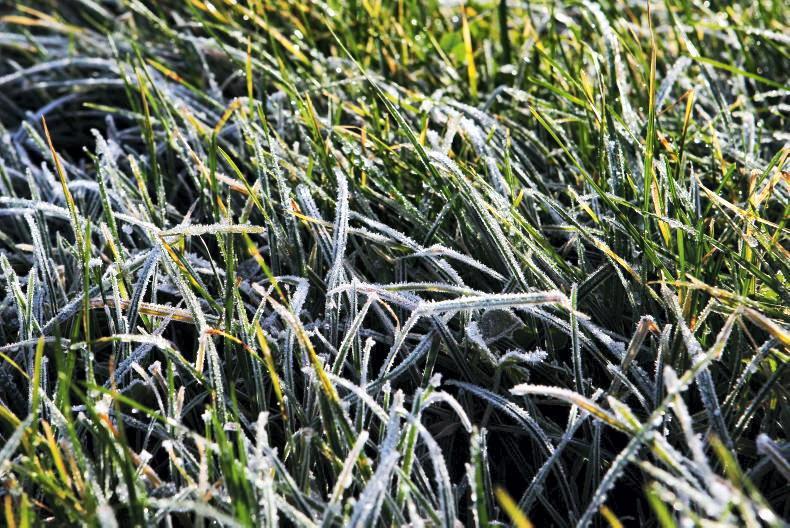
Monday will be cold but there will be a lot of dry, bright weather with sunny spells. Light scattered showers of rain or sleet, with snow on high ground, will mainly affect Ulster and north Connacht.
Showers will be more isolated
elsewhere. Highest temperatures will range from 5°C to 7°C, with an added wind chill from fresh northerly winds.
Monday night will be cold with wintry showers and clear spells, showers mainly over north Connacht and Ulster at first, becoming more widespread overnight.
Lowest temperatures will range from -3°C to 1°C, with a widespread sharp to severe frost forming and a risk of some icy stretches. Moderate northwest winds will be fresh and gusty near northern coasts.
Tuesday
It will be breezy with scattered showers and bright spells on Tuesday. There will be some showers wintry of sleet and snow, especially in the north and northeast.
There is a possibility of a longer spell of rain later in the afternoon and evening in the west. It will feel cold in a fresh and gusty northerly wind, with highest temperatures of just 4°C to 8°C.
Some wintry showers are likely to continue for a time towards the east on Tuesday night. It will be rather cloudy, with some rain at times on western coasts.
Lowest temperatures will range from -3°C to +1°, with a widespread sharp to severe frost, away from Atlantic coastal fringes in the west and southwest. Light to moderate northerly winds will back westerly overnight.
Wednesday
It will become less cold on Wednesday, with generally cloudy conditions bringing outbreaks of rain, most persistent across the west and northwest but very patchy in the south. Highest temperatures will range from 8°C to 10°C.
Outbreaks of rain will continue to move in from the west overnight on Wednesday. It will be driest and clearest across Leinster and east Munster. Lowest temperatures will range from 2°C to 5°C.
Thursday
It will be cloudy and breezy, with some rain or drizzle on Thursday. Highest temperatures will range from 8°C to 10°C, with moderate to fresh southwest winds increasing strong on northwestern coasts.
A band of heavier rain will reach the west and northwest later in the afternoon or evening and move southwards across the country during Thursday night.
Clearer and colder weather with showers will develop over much of Ulster and Connacht before dawn. Lowest temperatures will range from 0°C to 4°C.
Friday
Rain will clear southern coasts early on Friday morning, with wintry showers mixed with bright spells extending from the north. Highest temperatures will range from 5°C to 9°C with moderate northerly winds.
It will be very cold on Friday night, with a few wintry showers in the north but dry in most areas. Temperatures will fall to 0°C or a degree or two below, with a widespread sharp to severe frost and a few fog patches also.
Rain
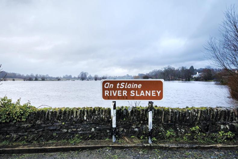
The coming week will see some wintry showers or rain at times but amounts in the south will be very small. Rainfall totals over most of the country will be less than 50% of average.
Temperatures
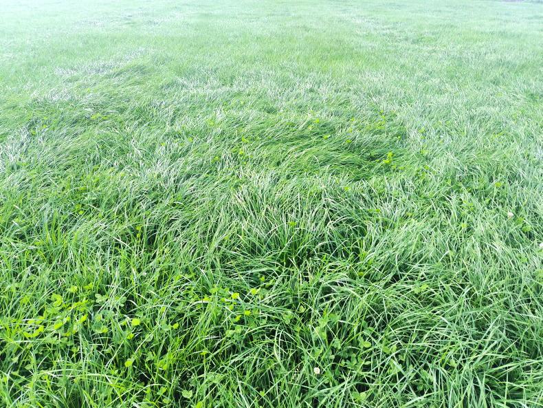
Mean soil temperatures are well above average throughout the country generally, with mean temperatures between 8.9°C and 11.2°C.
With the colder conditions developing, soil temperatures will fall back close to or below normal over the coming week.
Field conditions
With the dry weather over the past week, well and moderately drained soils are trafficable. In the northwest, poorly drained soils remain generally saturated.
Over the coming week, soil moisture deficits will likely increase in most soils with below average rainfall.


SHARING OPTIONS