

Co Wexford, otherwise known as the Model County, gets its nickname from its progressive farming methods and its model farms. The county is well known for its early potatoes and strawberries, which can be attributed to the relatively warm, dry climate that is enjoyed there. The southern Wicklow Mountains and the Blackstairs Mountains in the north that span southwards provide a natural boundary for the county. Brown podzolics are predominant in these upland areas that are characterised by gneiss, schist and granite glacial drift derived from these rock materials. Towards the coast, the low-lying undulating hills represent a feature that is almost unique, within Ireland, to Co Wexford.
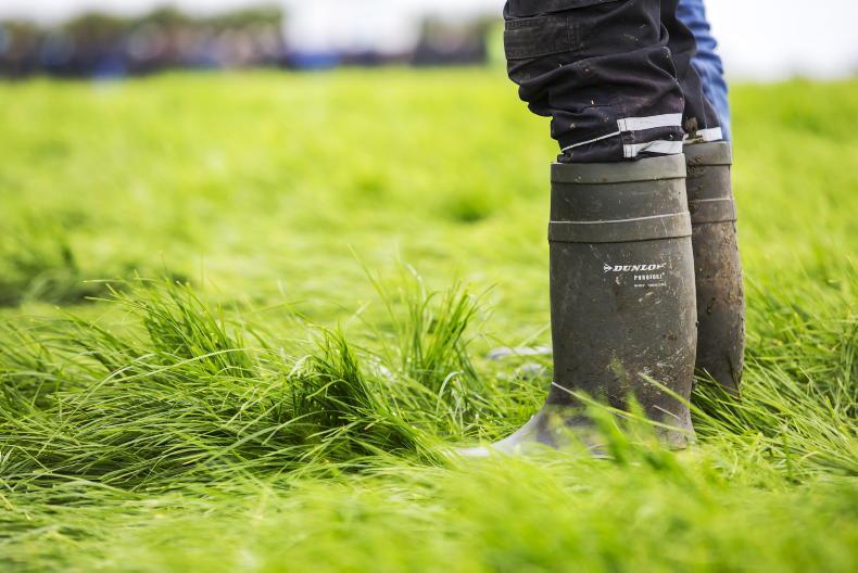
This topography is called kame and kettle and can be found between Courtown and Wexford. This landscape is typified by free-draining sandy brown podzolics on the kame (hill) and surface-water gleys in the kettle (dips). Brown podzolics are soils that have lost much of their nutrients, in particular iron and aluminium, as a result of acidic conditions and high rainfall over time. Surface-water gleys are found on heavy glacial till, which gives rise to heavy textured sub-soils. As a result, these soils are poorly drained. making them difficult to work with.
Good nutrient retention
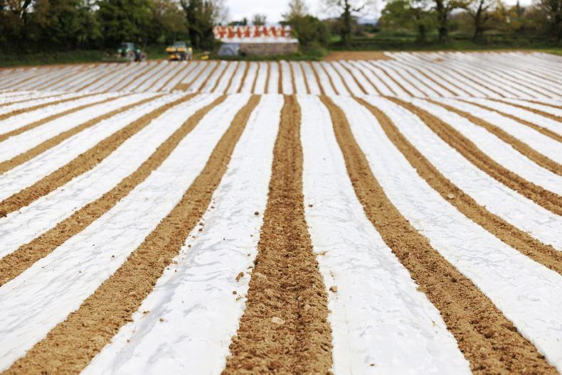
Overall, brown earths account for almost two-thirds of all soil in Co Wexford and can be found right across the county stretching from west of Gorey in the north, to the south-western county border, defined by the River Barrow in the south. As these soils are known for their free-draining properties and good nutrient retention, it is predictable that Wexford is recognised for its good agricultural lands. These soils are used for tillage in the areas around Bunclody, Ferns and Clonroche. Of the brown earths found here, the ‘Clonroche’ series (found in association 1100a led by subgroup 1100) is widely known, named after Clonroche, located between Enniscorthy and New Ross.
In 1964, An Foras Talúntais carried out an in-depth survey of Co Wexford as part of the National Soil Survey and Clonroche is the original location where this soil type was classified. However, it may be found right across the country in 17 other counties.
After brown earths, surface-water gleys are the next most common soil type and are mainly found in the south-east of the county and to the east of Gorey. A well-known surface-water gley within Wexford is the ‘Macamore’ series. This series is derived from Irish Sea mud that was deposited on the coast during glaciation. This is a heavy, silty clay soil and the high clay content means that these soils are considered heavy from a farming perspective due to their sticky nature.
While the River Slaney and River Barrow offer natural drainage for the county, the estuarine environments in south Wexford highlight the presence of alluvial soils. These are typical in estuaries that are frequently flooded or waterlogged for prolonged periods of the year. The Wexford slob is one example and occurred due to the draining of alluvial soils on reclaimed coastal flats.
SHARING OPTIONS