

Met Éireann has issued a combined orange and yellow weather warning for Tuesday and into Wednesday.
An Atlantic depression named Storm Barra will bring very strong winds and spells of heavy rain across Ireland, it said.
Winds will be strongest in western coastal counties with severe or damaging gusts possible.
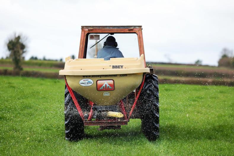
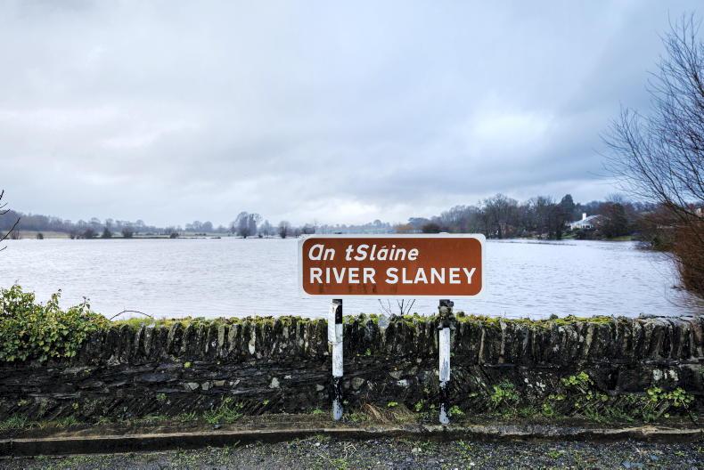
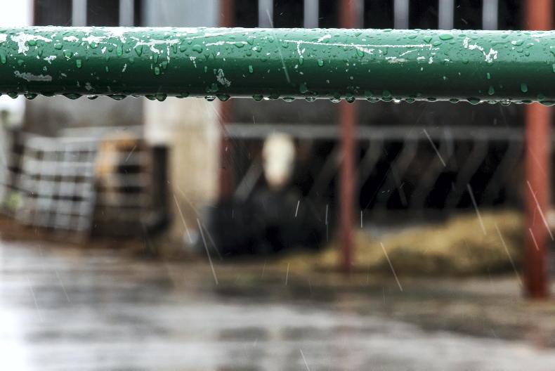
Heavy rain will bring localised flooding. There will also be high waves at sea and a significant possibility of coastal flooding on south and west coasts.
Wind speeds averaging 65 to 80km/hr, with severe or damaging gusts of up to 130km/hr, possibly higher in coastal areas, are forecast. Disruption to power and travel are likely.
The combination of high waves, high tides, heavy rain and storm surge will lead to wave overtopping and a significant possibility of coastal flooding Met Éireann says.
The orange warning has been issued for coastal counties Clare, Cork, Galway, Kerry, and Limerick, while all other counties currently have a yellow warning.
The warning comes into force from 6am on Tuesday through to 6am on Wednesday.
Thursday
Met Éireann says Thursday looks to be a drier day overall with showers mostly confined to coastal parts of the north and west.
Cloud will increase in the southwest through the afternoon with rain extending across the country after dark. Highest temperatures will range from 6°C to 9°C in light to moderate westerly breezes.
Friday
Apart from coastal showers in the north and west, it will be a dry and bright start with sunny spells. Cloud will increase during the afternoon, with rain extending from the southwest during the evening. Highest temperatures will range from 5°C to 8°C as mostly moderate northwest winds back southwesterly and ease to mostly light by evening.
Weekend
Met Éireann says current indications suggest it will be unsettled weekend, with further spells of wet and windy weather on Saturday followed by showers on Sunday.


SHARING OPTIONS