

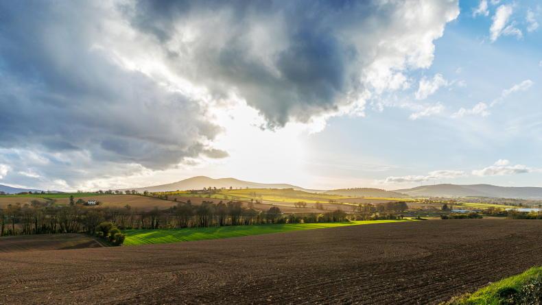
Friday
Met Éireann has forecast for it to be cloudy today with occasional light rain or drizzle, but a few brighter intervals occurring at times also.
Rain is to become persistent in the west and northwest this evening. It will be a cool day, with top temperatures of 10°C to 13°C in mainly light southwest or variable breezes.
Outbreaks of rain will become more widespread for a time early on Friday night, before turning to showers and clear spells overnight.
The showers are expected to be heaviest and most frequent in Atlantic coastal counties. Temperatures look set to drop to between 3°C and 6°C, with some grass frost in places.
Light to moderate west to northwest breezes will develop inland, but fresh to strong near coasts.
Saturday
Looking to the weekend and Met Éireann has said that Saturday will be a cold, crisp and bright day with sunny spells in all areas, but increasingly blustery and showery also.
Some of the showers will be heavy with hail, with a risk of thundery downpours, especially in Atlantic coastal counties.
Top temperatures of just 7°C to 11°C are forecast in gusty west to northwest winds, reaching gale at times along the Atlantic Seaboard.
On Saturday night showers will retreat to Atlantic coastal counties, where they will continue to be occasionally heavy with hail, and a risk of thunder, but gradually easing by morning.
Long clear periods will allow temperatures to fall between 1°C and 5°C with frosts forming away from coasts.
Fresh to strong and gusty northwesterly winds will reduce moderate inland.
Sunday
Current indications from Met Éireann suggest that Sunday will be the drier day of the weekend with spells of sunshine occurring in most parts.
A few showers are still expected though, especially through west Ulster and north Connacht, but becoming isolated by evening.
Highs of 8°C to 11°C with northwesterly winds gradually abating.
On Sunday night relatively clear skies and slack winds are expected over the eastern side of country, which will produce a fairly widespread frost, at least for a time, over Leinster, East Ulster and east Munster as temperatures drop to between 0°C to +2°C.
Further west, increasingly cloudy skies with patchy rain and drizzle developing overnight will contribute to an early minimum temperature in these areas ranging 2°C to 6°C but rising to between 6°C and 12°C towards the end of the night.
Beef
Meanwhile, in this week’s beef management notes, Adam Woods looks at maximising breeding success and how to choose the best ration formula.
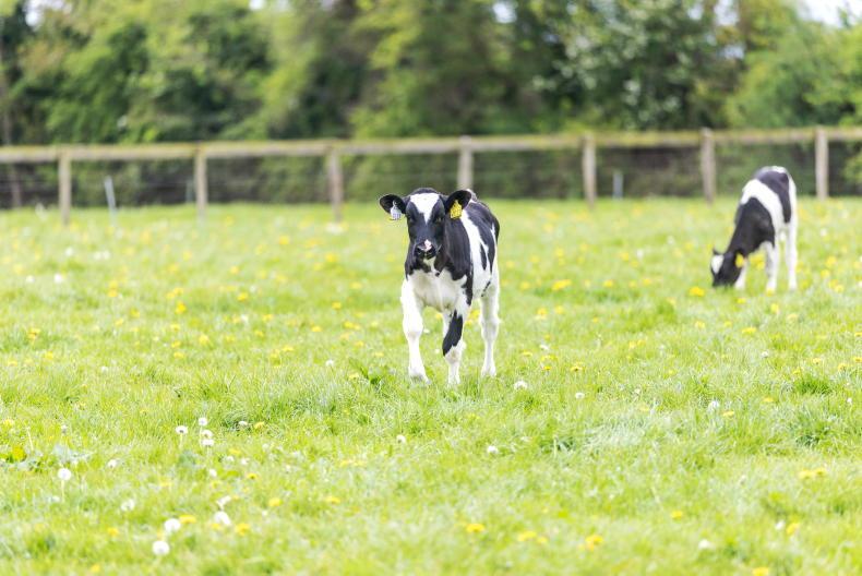
Dairy
Dairy specialist Aidan Brennan looks at grazing and why you should choose your debt repayment level carefully.
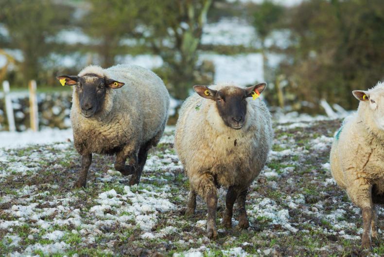
Sheep
In the sheep management notes, Darren Carthy looks at breeding for hill flocks, breeding ewe lambs and the Sheep Welfare Scheme.
Tillage
Tillage specialist Andy Doyle looks at field activities during the current dry window and herbicides.

SHARING OPTIONS