

The weekend will be mostly dry and settled before the weather turns more changeable next week, with rain or showers widespread and heavy in places. It will be windy too with strong and gusty easterly winds developing. It will be cool throughout.
Friday
Friday night will be cold and breezy with clear spells, the Met Éireann forecast says. Lowest temperatures of zero to 3°C with some grass frost in places. The odd shower will affect northern coastal areas but it will be mostly dry otherwise. Moderate north to northeast breezes will be fresh on the coasts.
Saturday
Saturday will be a bright, dry and mostly sunny day, but with occasional cloudy periods in the afternoon. Top temperatures of 9°C or 10°C over Ulster but 11°C to 14°C elsewhere, with the best temperatures over Munster. Fresh north to northeast winds will decrease to moderate by the afternoon.
It will be cold, mostly dry and fairly clear on Saturday night. Lowest temperatures of -1°C to 2°C with a widespread grass frost. A few showers may affect parts of the north coast.
Sunday
It will be cold to start on Sunday with the early grass frost soon clearing to give a dry, bright and sunny morning. More cloud about later, but further sunny spells also. A few light showers will affect parts of the north coast. Fresh and rather cool over Ulster, northern parts of Connacht and Leinster, with highs of just 9°C or 10°C in a moderate northwest to northerly breeze. Temperatures will be higher elsewhere with top values of 12°C to 14°C in light, variable breezes. Cold overnight, with lows of zero to 3°C in almost calm conditions with grass frost in places. A few showers will affect parts of the north coast.
Monday
Some showers at times over Ulster but dry elsewhere. Rather cloudy overall, but a few bright or short sunny spells at times. Temperatures still below average with highs of 9°C to 12°C. It will be cloudy overnight with patches of mist and drizzle in places and lows of 3°C to 6°C.
Wet weather is expected to spread from the southwest during Tuesday in freshening easterly winds. Staying cloudy and wet overnight and through Wednesday, with some heavy rain expected in more southern parts of the country. Windy Tuesday night and Wednesday too, with strong and gusty east to northeast winds and gales on coasts. It will be cool with temperatures still below normal and feeling colder in the wind and rain.
Tillage: broken weather over the past week made field work like spraying difficult but it has certainly helped drive crops on.
Sheep: there is potential for farmers to avail of subsidised genotyping but take note it is only available on the first 1,000 samples submitted.
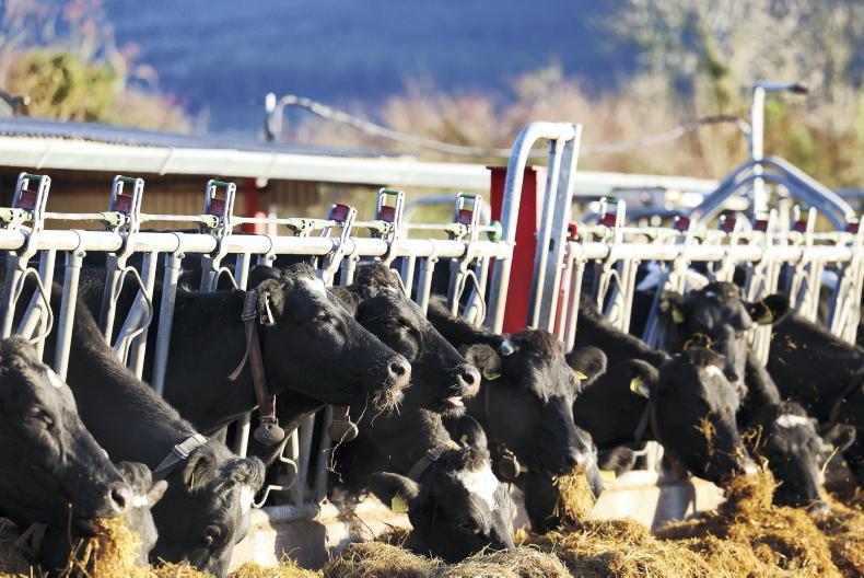
Dairy: most spring-calving farmers have started, or are about to start, the breeding season. The early spring this year shouldn’t sway your breeding start date too much.
Beef: Adam Woods takes a look at BDGP stock bull requirements, breeding and heat detection, and dairy beef sire selection.


SHARING OPTIONS