

Friday began with a cold and blustery start, with some showers and patchy frost in sheltered areas.
It will become dry today in most places, with sunny spells, though showers will continue in coastal parts of the west and north. Highest temperatures of 6-8°C in fresh north to northwest winds, easing later.
Friday night will be cold, with clear spells and will turn frosty with lowest temperatures of 1°C to -1°C in light winds. Later in the night, showers will move into northern areas, turning wintry on hills.
Saturday
Saturday will bring a mix of cloud and bright spells, with some scattered showers. Highest temperatures of 6-8°C in a light to moderate westerly breeze.
Saturday night will be mostly cloudy, with some rain and drizzle developing in the west overnight. Lowest temperatures of 3-6°C.
Sunday
Sunday will be much milder than recently, with outbreaks of rain. Highest temperatures of 8-11°C, with moderate southwest winds veering west to northwest and easing later as the rain clears. Sunday night will be cold, with frost in places, especially further north.
Outlook
At this stage, Monday looks like it will be mainly dry, apart from a little drizzle, with a mix of cloud and some bright or sunny spells. Highest temperatures of 7-11°C, with light to moderate southerly breezes.
Tuesday will be mild and breezy, with a mix of cloud and some brighter spells and higher temperatures of 11-13°C, with moderate southerly breezes.
Wednesday will be mostly cloudy, with some rain or drizzle likely.
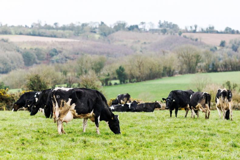
Dairy
Aidan Brennan has some timely advice about managing cashflow and tax bills.
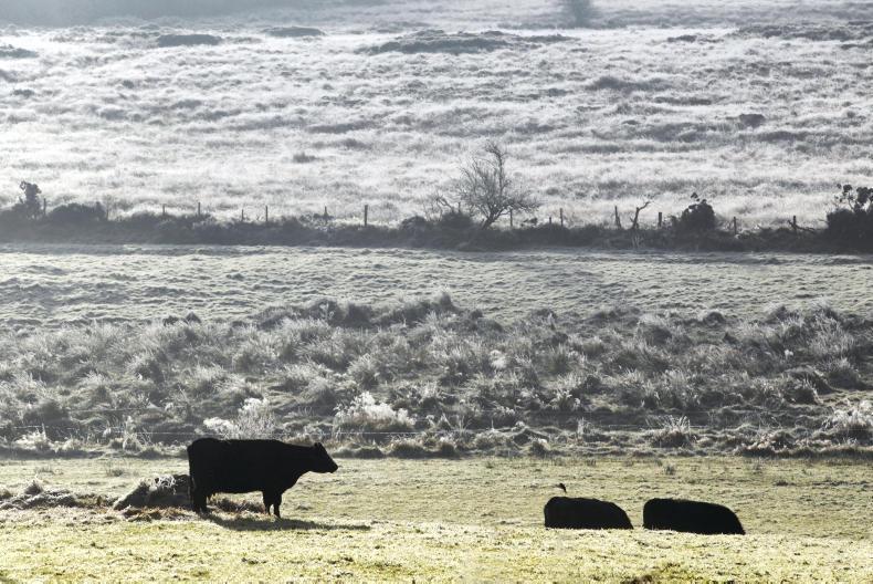
Beef
Adam Woods has practical advice for anyone who is short of fodder for the winter about what they can do.
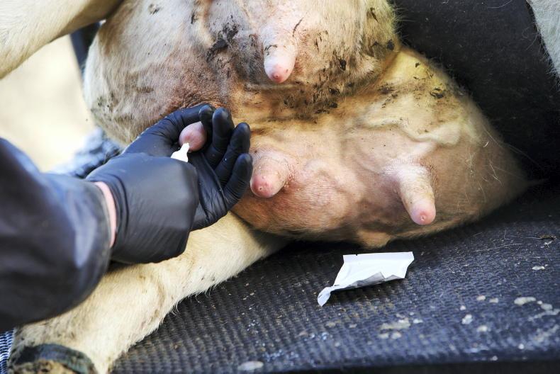
Sheep
Darren Carty writes about tagging and how best to prepare for cross-compliance inspections.
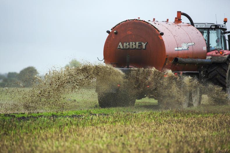
Tillage
Andy Doyle looks at the essential paperwork tillage farmers should be concentrating on at this time of year.

SHARING OPTIONS