

Monday
It will be cool and blustery with widespread showers on Monday, according to Met Éireann. The showers will be heavy with the risk of hail and isolated thunderstorms. The best of any bright spells will be in the south, with showers merging to longer spells of rain in the north. Highest temperatures will range from 8°C to 11°C.
There will be heavy showers on Monday night also. These will be most frequent in the western half of the country. Lows will range from 3°C to 5°C.
Tuesday
Tuesday will be a blustery day with a mix of scattered heavy showers and sunny spells, the showers most frequent in the west. It will be a cool day, with highs of only 8°C or 9°C in a stiff west to northwest breeze.
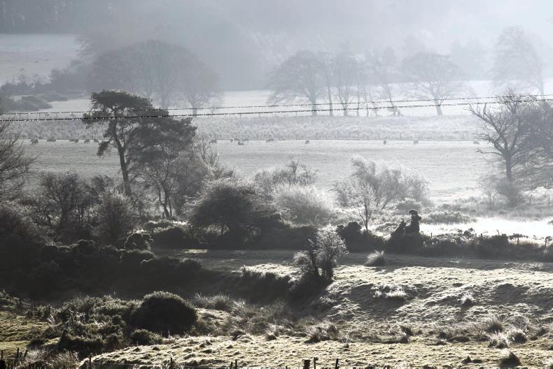
Tuesday night will be mostly dry with clear spells though there are showers forecast for the north. Lows will range from 3°C to 6°C in the north and 0°C to 4°C in the south, with patchy grass frost in sheltered areas.
Wednesday
Met Éireann is forecasting a mostly dry day for Thursday with sunny spells. Northwesterly winds will ease also, with highs of 10°C or 11°C. However, temperatures will fall close to freezing in the south on Wednesday night, with frost forming in light winds.
Thursday and Friday
Later in the week is set to continue dry and settled with good sunny spells and light winds in highs of 10°C to 12°C.
Rain
Rainfall has been variable over the past week, with much wetter conditions than average in parts of the west, and average to slightly drier than average conditions in parts of the east. The wettest station was Claremorris, recording 79mm of rain, over two and a half times the average. Dublin Airport was the driest station, recording 13mm or 72% of its average.
Weather conditions over the coming week will be unsettled at first with above normal rainfall, but becoming more settled and drier towards the middle of next week.
Temperatures
The past week has seen average to slightly below average temperatures for the time of year. The mean temperatures ranged from 7.6°C at Knock Airport to 10.8°C at Valentia Observatory. Mean air temperatures will be about normal in most areas for the coming week, with slightly below normal values possible in parts of the east, northeast and southwest.
Frost may be a possibility from early next week as high pressure begins to dominate. Mean soil temperatures in the past week were between 0.2°C below and 1.4°C above average, generally 10°C. Over the coming week, soil temperatures will likely remain similar or slightly closer to average generally.
Drying conditions
Drying conditions will generally be poor, with frequent rain and showers. From the middle of the week there may be less rain, but winds will likely be slack.
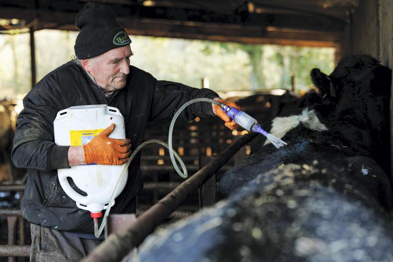
Spraying
Spraying opportunities will be limited for the next few days, with frequent showers. The best opportunities will likely occur towards the middle of next week when it will become dry with light winds.
Field conditions
All soils are currently saturated or close to saturation, with poorly drained soils waterlogged in most areas. With above average rainfall expected in the coming week, all soils will be saturated while moderately drained soils will become waterlogged by early this week.

SHARING OPTIONS