

Monday will be dry to begin with in most places with some bright or sunny spells.
Met Éireann has said that outbreaks of rain and drizzle will gradually spread from the west over the course of the day, totals will be small and much of the eastern half of the country will hold dry.
Highest temperatures will range from 7°C to 11°C in light to moderate southerly winds, fresher on western and northwestern coasts.
Monday night will be mostly cloudy with a little light rain, drizzle and mist extending eastwards, but clearing from most places later in the night. Met Éireann said that a few clear spells will develop in parts of the west for a time.
Lowest temperatures will range between 3°C and 6°C in mostly light to moderate south or southwest winds.
Tuesday
Tuesday is forecast to be a mostly cloudy day but dry for a time apart from a little patchy light drizzle in southern and southeastern coastal areas.
However, rain will push into western parts later in the afternoon and will spread eastwards through the evening.
Met Éireann said the rain will be heavy at times in the evening, especially in parts of the west and northwest. It will become windy too through the day with southerly winds increasing fresh to strong and gusty and gales in some western and northwestern coastal areas.
Highest temperatures on Tuesday will range from 8°C to 11°C.
It will be wet and rather windy at first on Tuesday night, with rain heavy for a time, but Met Éireann said the rain will mostly clear southeastwards overnight, with a few showers following into northwestern parts.
The winds are forecast to veer westerly with the clearance and gradually moderate, still fresh to strong though in coastal parts of the northwest. A few clear spells will develop overnight, mainly in parts of the west and north. Lowest temperatures will range from 3°C to 6°C.
Wednesday
It will be mostly cloudy but mainly dry to begin on Wednesday, but outbreaks of rain will spread from the southwest through the morning and afternoon.
Winds will pick up as the day goes on, with south to southeast winds increasing fresh to strong and gusty, increasing strong to gale force and gusty southwesterly later in some parts of the west and south.
Highest temperatures on Wednesday will range from 9°C to 12°C.
Met Éireann has warned that it will become “extremely windy” in some parts on Wednesday night with strong to gale force winds; southwest to begin then veering west to northwest, with some severe and damaging gusts.
There'll be further spells of rain overnight too, it said, followed by heavy squally showers, some of hail and thunder. It will turn colder, with lowest temperatures of 1°C to 4°C.
Thursday
Met Éireann has said it will still be windy on Thursday with widespread heavy squally showers, some of hail and thunder and with the possibility of some turning wintry over higher ground.
Westerly winds will be fresh or strong and very gusty, with gales in coastal parts of the west and south, Met Éireann said and it will feel cold, with highest temperatures of 6°C to 9°C.
It will remain windy and very showery on Thursday night, with some hail and the possibility of thunder.
The winds will gradually start to moderate later in the night, with showers becoming more confined to parts of the west and north. Lowest temperatures will range from 2°C to 4°C, with Met Éireann saying there could be some frost and ice in any sheltered parts later on in the night.
Friday
Current indications for Friday suggest there will be some sunshine and further showers; these most widespread in western areas, some heavy, though the showers will tend to become isolated later.
Highest temperatures will range from 6°C to 9°C in a moderate to fresh and gusty southwest wind, still strong for a time in coastal parts of the west and north, but easing later and backing southeasterly.
Met Éireann said it will continue to be very unsettled for the weekend, with further spells of wet and windy weather at times.
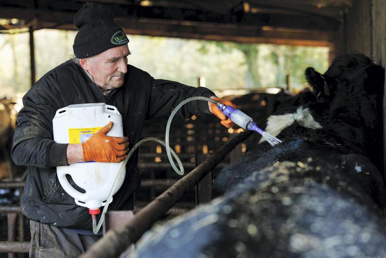
Farming forecast
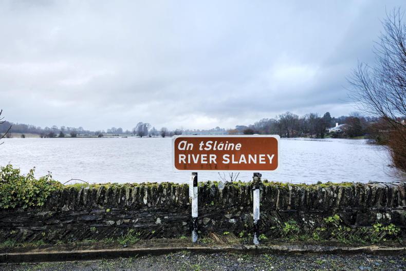
Met Éireann has said that unsettled weather in the coming week will bring between around 150% and 300% of normal rainfall, which is between around 25 and 70mm of rain.
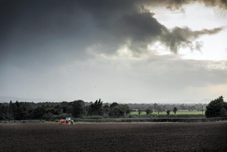
With more rain forecast, field trafficability will deteriorate again and there will be poor opportunities for spraying as the week goes on.
SHARING OPTIONS