

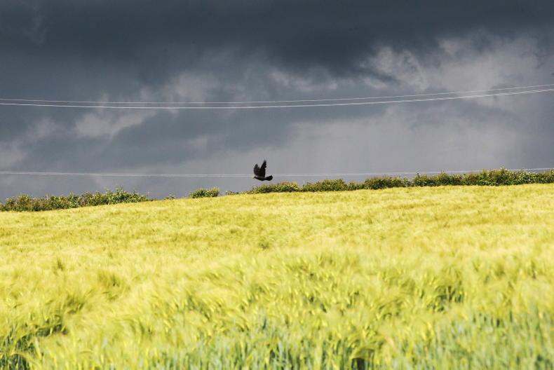
Met Éireann is forecasting a very different week ahead after the heatwave.
It will be unsettled for the rest of the coming week, with heavy or thundery showers at times.
Temperatures will return to near to average for the time of year.
Monday will see showery outbreaks of rain in the western half of the country through the morning and afternoon, spreading eastwards in the evening.
There will be heavy or thundery bursts at times, which may lead to spot flooding in places.
Overall, it will be cloudy with occasional sunny spells, the best of these in the east early on.
It will be less warm, with highs of 19°C to 23°C generally and cooler in the far west and northwest.
Tuesday
Tuesday will see some bright spells to start, but becoming largely cloudy, with scattered showers spreading across the country from the west, turning heavier and more frequent as the day goes on, with occasional thundery bursts bringing risks of localised flooding.
Later in the afternoon, sunny spells will develop in the west, extending eastwards. Highest temperatures will be 16°C to 20°C in a moderate northwest breeze.
Wednesday
Wednesday will bring a mix of sunny spells and widespread heavy, possibly thundery showers, bringing risks of spot flooding.
Scattered showers will continue on Wednesday night before a spell of showery rain moves into the northwest towards morning.
Thursday
Thursday is set to be a largely cloudy day, with showery rain moving southeastwards across the country, occasionally turning heavy. Highest temperatures of 15°C to 19°C are forecast.
Outlook
Met Éireann says it will remain generally unsettled through Friday and the weekend, with showers feeding in from the northwest. Temperatures will stay around normal in the mid- to high teens.


SHARING OPTIONS