Monday
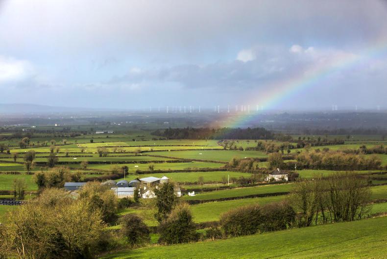
It will be cloudy on Monday morning with rain or drizzle, according to Met Éireann. The rain will clear slowly northeastwards through the day, with bright spells and isolated showers following from the west and more frequent showers later in the day. Highest temperatures will range from 12°C to 15°C.
On Monday night, showers or longer spells of rain will affect much of the country. It will be blustery in Munster, with fresh, gusty westerly winds. Lowest temperatures will range from 6°C to 10°C.
Tuesday
Tuesday will be cool and breezy, with sunny spells and some heavy showers. Highest temperatures will range from 11°C to 14°C, with moderate to fresh west to northwest winds. Showers will continue in many areas on Tuesday night.
Wednesday
Wednesday will bring sunshine and showers, which will tend to die out in the afternoon and evening. Highest temperatures will range from 11°C to 14°C in moderate westerly breezes. It will be wet and windy on Wednesday night, with heavy falls of rain in many areas, especially in Munster and Leinster.
Thursday
Thursday will start off wet and windy, with further heavy rain in places. The rain will clear eastwards with sunshine and showers following from the west. Fresh, gusty northerly winds will gradually become westerly and ease. Highest temperatures will range from 9°C to 12°C.
Friday
Friday will be cool and breezy with sunny spells and scattered showers, some heavy. Highest temperatures will range from 10°C to 13°C, with mostly moderate northwest winds.
Temperatures
Mean air temperatures over the past week have been cooler than average for the time of year at up to 3.5°C below normal. They are expected to be below average for the coming week also. Soil temperatures have varied across the country, between 1°C below and 0.5°C above normal. They are expected to be near normal or slightly below in the coming week.
Drying and spraying conditions
There will be poor drying conditions in the coming few days, with persistent and widespread rain on Sunday and wet conditions continuing into next week.
There will be limited opportunities for spraying over the coming days, with persistent and widespread rain on Sunday accompanied by fresh to strong winds. Showery conditions and often moderate to fresh winds in the coming week will further limit spraying opportunities.
Field conditions
Soils are generally very near or at saturation, with very low soil moisture deficits across the country. Poorly drained soils in the northwest and east are waterlogged. With above normal rainfall totals expected this coming week, soils will remain at saturation, and moderately drained soils in some areas will become waterlogged.
Read more
Less rainfall and increased sunshine recorded in September
Monday
It will be cloudy on Monday morning with rain or drizzle, according to Met Éireann. The rain will clear slowly northeastwards through the day, with bright spells and isolated showers following from the west and more frequent showers later in the day. Highest temperatures will range from 12°C to 15°C.
On Monday night, showers or longer spells of rain will affect much of the country. It will be blustery in Munster, with fresh, gusty westerly winds. Lowest temperatures will range from 6°C to 10°C.
Tuesday
Tuesday will be cool and breezy, with sunny spells and some heavy showers. Highest temperatures will range from 11°C to 14°C, with moderate to fresh west to northwest winds. Showers will continue in many areas on Tuesday night.
Wednesday
Wednesday will bring sunshine and showers, which will tend to die out in the afternoon and evening. Highest temperatures will range from 11°C to 14°C in moderate westerly breezes. It will be wet and windy on Wednesday night, with heavy falls of rain in many areas, especially in Munster and Leinster.
Thursday
Thursday will start off wet and windy, with further heavy rain in places. The rain will clear eastwards with sunshine and showers following from the west. Fresh, gusty northerly winds will gradually become westerly and ease. Highest temperatures will range from 9°C to 12°C.
Friday
Friday will be cool and breezy with sunny spells and scattered showers, some heavy. Highest temperatures will range from 10°C to 13°C, with mostly moderate northwest winds.
Temperatures
Mean air temperatures over the past week have been cooler than average for the time of year at up to 3.5°C below normal. They are expected to be below average for the coming week also. Soil temperatures have varied across the country, between 1°C below and 0.5°C above normal. They are expected to be near normal or slightly below in the coming week.
Drying and spraying conditions
There will be poor drying conditions in the coming few days, with persistent and widespread rain on Sunday and wet conditions continuing into next week.
There will be limited opportunities for spraying over the coming days, with persistent and widespread rain on Sunday accompanied by fresh to strong winds. Showery conditions and often moderate to fresh winds in the coming week will further limit spraying opportunities.
Field conditions
Soils are generally very near or at saturation, with very low soil moisture deficits across the country. Poorly drained soils in the northwest and east are waterlogged. With above normal rainfall totals expected this coming week, soils will remain at saturation, and moderately drained soils in some areas will become waterlogged.
Read more
Less rainfall and increased sunshine recorded in September


SHARING OPTIONS