

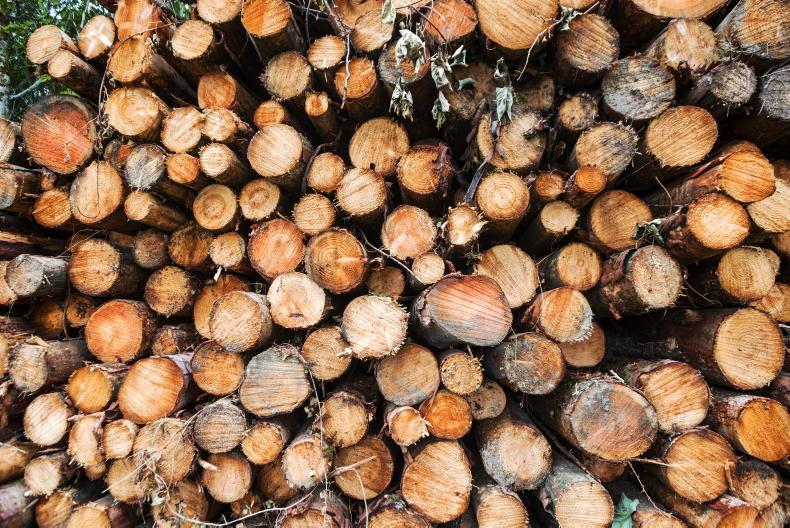
Satellite imagery is being used globally to assess the health and status of forests.
“Drone and satellite technology is also playing a major role in monitoring forests at national and local level,” says Donal Whelan, technical director of the Irish Timber Growers Association (ITGA).
The association has lined up two experts in this discipline to speak at an upcoming webinar on the use of Earth observation, satellite and drone technology in forestry.
Dr Michael Schmidt, general director, Inter-Institutional Projects at CONABIO, Mexico, will open the session, followed by Cian Gallagher, managing director of Applied Aerial Technology.
Dr Schmidt will discuss remote sensing for carbon and natural-based services.
He will focus on the use of satellite imagery and in-situ sensors for the purpose of conservation, sustainable management of forests and enhancement of forest carbon stocks.
Gallagher’s presentation is on remote sensing for forest management. He will focus on the practical use of imagery from satellite and drone sensors for everyday use in forestry.
The webinar, supported by the Irish Farmers Journal and part-funded by the Department of Agriculture, is free. It will commence at 10am and conclude at 11.30am on Thursday 31 March. You can register at www.forestry.ie/insights.
SHARING OPTIONS