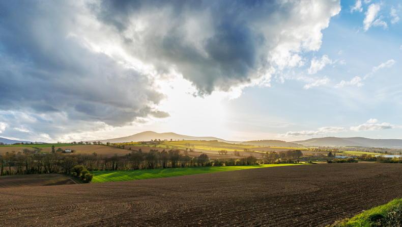
A status orange for warning is in place for all of this Monday and visibility is expected to remain poor in many areas on Tuesday, leading to dangerous driving conditions.
Bright spells are forecast for Tuesday afternoon, but there will be light rain in the west in the evening.
North Ulster and Connacht will get the best of sunny spells on Wednesday, while it will be misty and cloudy elsewhere, with occasional drizzle and fog.
Thursday has the highest chance of rain with a wet spell forecast in the south, but Met Éireann expects small amounts of rainfall. Fog will again be an issue in the north.
Temperatures will rise from Monday night to between 10°C and 12°C and will remain in this mild range in most areas for the next few days. It will be cooler in northern parts where more clear spells occur, with highs of 7°C to 9°C and a touch of frost for a time on Wednesday night.
Otherwise no widespread frost is expected before Christmas Day, when temperatures are expected to drop.
This week’s drier spell will be welcome after the past week’s rain and snow left all areas wetter than normal – up to 200% of normal amounts in the mid-west. By contrast, this week’s rainfall levels are forecast to range between 9mm and 20mm only.
Air and soil temperatures have been 1°C to 3°C below normal so far in December. This will be reversed in the coming days. The midlands have had the coldest recent weather with mean temperatures of 1.5°C in the air and 2°C in the soil so far this month.
Despite the expected lull in the rain, Met Éireann describes drying conditions for the next few days as “moderate as best”. Most soils remain at field capacity or saturated at the moment.
Read more
Listen: longer growing season and more floods by 2050
Met Éireann wants your input to prepare for future weather


SHARING OPTIONS