

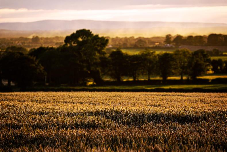
Monday will be a mostly cloudy day with further showers and some bright or sunny intervals, Met Éireann said.
The showers will be heaviest and most widespread through the afternoon, with some thundery and with a risk of hail and localised flooding.
It will brighten up from the west through the evening.
Highest temperatures will range from 17°C to 20°C, with light to moderate west to northwest breezes.
Monday night is forecast to be largely dry night with clear spells for most, though there will be patchy drizzle in the west.
Lowest temperatures will range from 9°C to 12°C. Light westerly breezes will allow mist, fog and some low cloud to form by dawn.
Tuesday
Met Éireann said that Tuesday will be a largely dry day with a good deal of cloud about but there will be some hazy sunny spells and also the chance of isolated patchy light rain or drizzle at times.
Highest temperatures will reach 20°C and will possibly 21°C in the east, in light southwesterly breezes.
It is forecast to become cloudier during the evening, with patchy drizzle developing along Atlantic coasts.
A “misty and murky night” is forecast on Tuesday night, Met Éireann said, with just occasional clear spells before a band of rain extending to Atlantic coastal counties before dawn.
Mild and muggy conditions are forecast overnight, with temperatures not falling below 13°C to 15°C in light to moderate southerly winds.
Wednesday
The persistent and locally heavy band of rain will gradually track eastwards through Wednesday morning, while sunny spells and isolated light showers will follow from the west for the afternoon.
Highest temperatures of 17°C to 20°C are forecast, as moderate southerly winds veer westerly once the rain passes.
Thursday
Current indications for Thursday suggest a low pressure system will track to the northwest of Ireland.
Patchy rain and drizzle is forecast in the morning but it will become drier with good sunny spells in the afternoon.
Highest temperatures will range from 17°C to 20°C in moderate to fresh southwest winds, strong at times along northwest coasts.
Friday
The weather looks set to continue unsettled through Friday and the weekend, with showers and longer spells of rain. Highest temperatures will generally range from 16°C to 21°C.
Rainfall accumulations over the next week will generally range between 20mm and 40mm, Met Éireann said, with the highest accumulations expected in the midlands.
It said drying conditions will be poor over much of the coming week, with showers or longer spells of rain.
“There will be windows of dry weather on Tuesday and Thursday, but these will be followed by rain or showers.
“Spraying opportunities will also be quite limited over the next seven days in unsettled conditions. The best opportunity for spraying will be on Tuesday, with most areas remaining dry and having light winds,” it said.
There is little change in field conditions forecast this week.
“Due to recent heavy showers, many soils in Connacht and the midlands are currently saturated or waterlogged. Elsewhere, soil moisture deficits range between 20 and 50mm,” Met Éireann said.


SHARING OPTIONS