


 This is a subscriber-only article


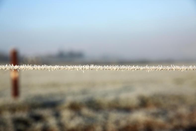
Friday will have a cold and frosty start and temperatures will only reach 3°C to 6°C during the day, according to Met Éireann.
Good sunshine is forecast in many places for the first half of the day, but cloud will increase later as wintry showers in the west and north become more widespread.
Northwesterly winds will freshen through the day also.
A status yellow snow-ice warning is in place until noon on Saturday, with scattered snow showers likely, most frequent in Ulster and Connacht.
Met Éireann also has a low temperature warning in place for Friday morning, with lows of of -3°C or -4°C in places.
On Friday night, wintry showers are to become confined to western and northern counties, with clear skies across the bulk of the country.
It will be a cold and windy night with widespread frost and lowest temperatures dropping to freezing level.
Saturday
Saturday is forecast to be another cold and windy day, with further wintry showers and highest temperatures of 5°C to 7°C. Northwesterly winds will be gusty.
Saturday night will remain cold and frosty, but mainly dry.
Sunday
It will still be cold on Sunday, with low temperatures and fresh southwesterly winds for most of the daylight hours.
However, by evening increasing cloud will have brought temperatures up to about 8°C to 10°C, Met Éireann said, and patchy rain or drizzle will have spread eastwards.
No frost is expected Sunday night as heavier rain extends across the country from the west. The cold weather is expected to remain into the start of next week.
Sheep
Darren Carty looks at earlier housing, winter shearing and the liveweight of ewes in this week’s sheep management notes.
Beef
Weanling performance targets and clean water are covered by Adam Woods in the beef management notes.
Dairy
In the dairy management notes, Aidan Brennan looks at grazing infrastructure, tax and nitrates.
Tillage
In this week’s tillage management notes, Andy Doyle looks at weather variability, planting and emerging crops.


SHARING OPTIONS: