

Four counties - Donegal, Kerry, Galway and Mayo - account for 70% of country's bogs, according to the Central Statistics Office (CSO).
The information was released in an ecosystem accounting report on Thursday 20 May.
The topic of the report, titled Ecosystem Accounts - Peatlands and Heathlands 2018, was the distribution of peatlands around the country.
The publication presented data on the use, size and distribution of Irish peatlands in 2018 - the year in which the data was collected.
“Based on the CORINE Land Cover 2018 dataset, peat bogs and moors and heathlands covered almost 16% of Ireland in 2018,” said CSO statistician Sylvie Clappe on the results.
“Peat bogs accounted for almost 14%, while less than 2% were moors and heathlands."
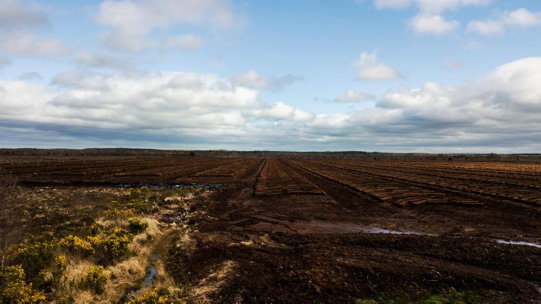
Distribution of bogs
“Almost 70% of peat bogs were in the western counties of Donegal, Kerry, Galway and Mayo, while almost 70% of moors and heathlands were in Cork, Donegal, Kerry and Wicklow in 2018.
“More than 44% of peat bogs and moors and heathlands occurred in the Natura 2000 network and/or in the areas of national importance protected under the National Heritage Areas (NHA) and proposed NHAs in 2018,” Clappe continued.
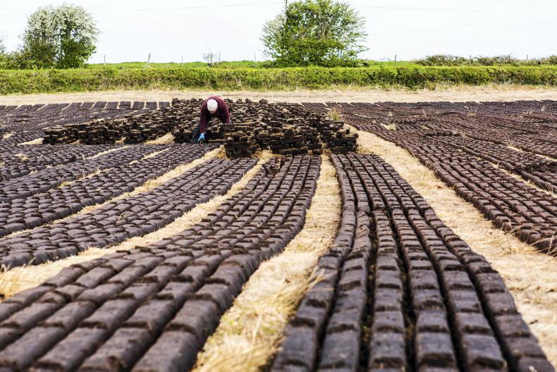
Peatland usage
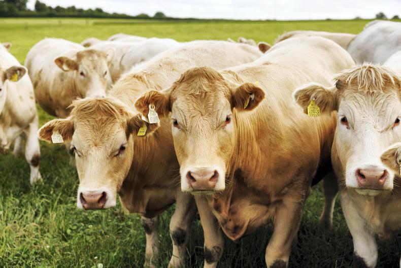
“Mostly through extensive commonage grazing, more than 60% of peat bogs and moors and heathlands were used for agriculture in 2018.
“The next largest land use categories were peat production for peat bogs at more than 5% and forestry for moors and heathlands at less than 2%,” Clappe said.
The data reported was sourced from the Environmental Protection Agency (EPA) and the National Parks and Wildlife Services (NPWS).
The report added: “Up to 2020, almost 12,000 hectares of peatlands had been targeted by restoration projects, and more than 20,000 hectares had been under rehabilitation works.”
SHARING OPTIONS