

On Friday night the showers will gradually die out and skies will clear. A close night with mist and fog. Lowest temperatures of 12°C to 15°C in little or no wind.
Saturday
Saturday will start mainly dry with hazy sunshine. In the afternoon, heavy and thundery showers will develop in the north and west, continuing into the evening. Other areas will remain largely dry with just isolated showers. Highest temperatures of 19°C to 22°C but it will be a few degrees cooler in the south and southeast. Winds will stay mainly light and variable.
Heavy showers in the north and northwest will die out early Saturday night and it will become largely dry. Lowest temperatures of 10°C to 14°C in little or no wind.
Sunday
Sunday will be warm and humid again with sunny spells. Most areas will be dry but a few showers will develop later in the day, most likely in the west and north. Highest temperatures of 19°C to 23°C, a little cooler on coasts. Sunday night will be dry with mainly clear skies and some fog may develop later. Lows of 10°C to 12°C.
Outlook
Monday, Tuesday and Wednesday will see little change. The warm and humid weather with light breezes is set to continue with sunny periods each day and scattered heavy showers in the afternoon and evening.
After Wednesday, there is an increasing chance that it will become cooler and unsettled, but there is also a good chance that the warm and humid weather will continue for a while longer.
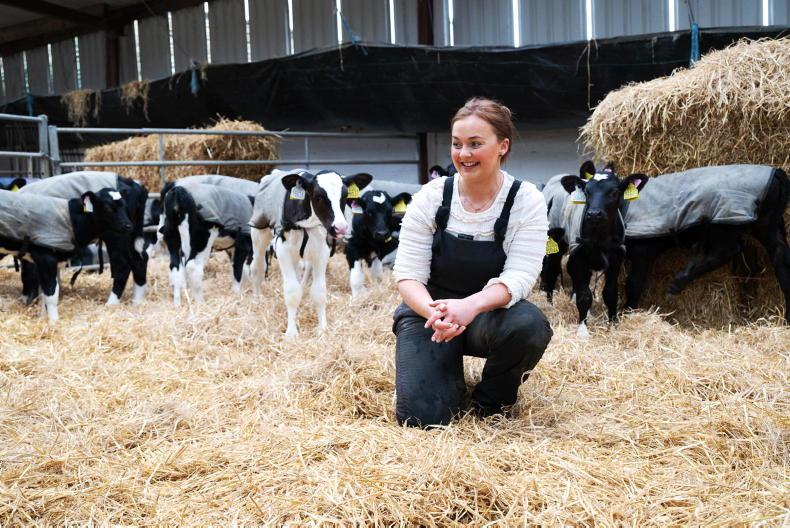
Beef editor Adam Woods takes a look at growing kale, health and safety on farms and a Tullamore Farm update.
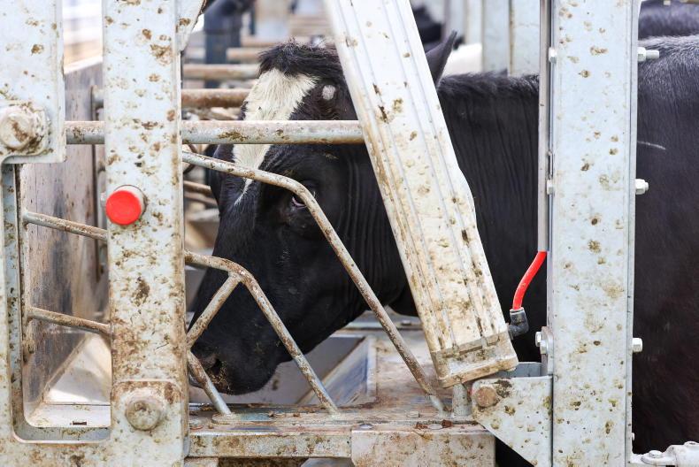
In dairy Aidan Brennan advises on how much fertiliser to spread for second cut silage, what to do with cows not yet served and useful tips for saving money.
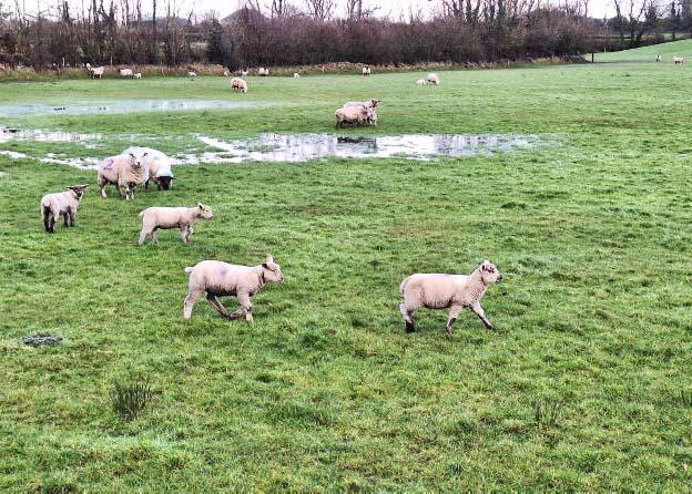
This week's sheep management notes cover optimum control of surplus grass, adhering to the sheep welfare scheme reference number and blowfly strike prevention.
And in tillage some areas really did need rain as crops struggled to emerge from dry cloddy seedbeds.

SHARING OPTIONS