

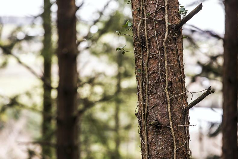
Forest cover in Ireland increased by 12% in the decade to 2022, according to new data from the Central Statistics Office (CSO).
In 2021, forest and woodland covered almost 760,000ha in Ireland. This represents a 12% increase, which equates to 80,000ha.
Forest and woodland covered around 11% of the land area of Ireland in 2021.
In 1928, Ireland had just 98,000ha of forest and woodland, around 1% of the national land area.
Forest types
Between 2012 and 2021, mixed forests increased by almost 20%, while broadleaved forests rose by nearly 18% and coniferous forests were up more than 9%.
The types of forests in Ireland have been strongly influenced by afforestation policies, the CSO noted.
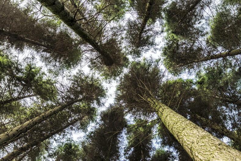
The total carbon stored in forests and woodlands in 2021 was 323m tonnes, up nearly 13% on 2012.
Deadwood, a natural component of forests and woodlands and an important resource for biodiversity, has shown an upward trend. Growing from 10.9m3/ha in 2012 to 14.1m3/ha in 2021.
Counties
Wicklow was the county with the highest percentage cover of forest and woodland in 2021. More than 20% of the county was covered in forest that year.
This was followed by Leitrim with more than 17% of forest cover.
The counties with the lowest percentage cover of forest and woodland in 2021 were Meath (3.7%), Dublin (4%) and Louth (4.1%).
SHARING OPTIONS