

Area figures produced by the Department of Agriculture from recent BPS applications account for the vast majority of agricultural land use in the country.
The total record of land use accounts for 4.6m ha. The figures do not include the majority of the forestry area.
As well as areas for even the smallest of crops, the total area includes just over 4m ha of various categories of grass and nearly 30,000ha of the forest and woodland which can be counted within the area-based schemes.
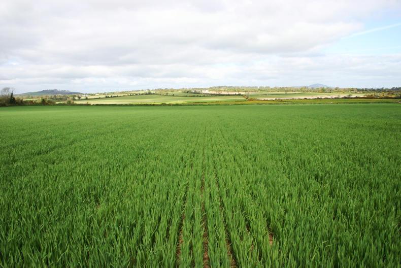
The area sown to cereals has decreased, with some individual crop categories higher while others are lower. Spring barley suffered the biggest area drop at about 16,000ha and this was very much in response to the poor price prospects that existed in springtime.
Listen to Andy Doyle in our podcast below:
On balance, total cereal area decreased by over 6,000ha but half of this may have gone to other crops like beans and spring rape. However, it seems likely that at least 3,000ha of tillage land may have gone to grass since last year.
The Department figures indicate that there are over 21,000ha of first crop grass in 2016. Grass establishment has been around this level for the previous two years also but the three most recent years were over 6,000ha per annum higher than the years that preceded them. This reflects the movement of land from tillage to grass and dairy in parts of the country following the removal of quotas.
SHARING OPTIONS